


Once again, I see the golden autumn in southern Xinjiang.
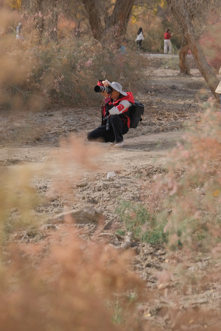
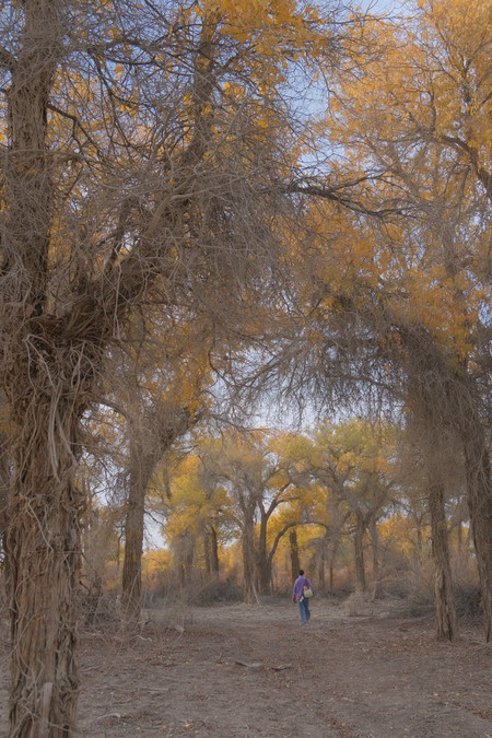
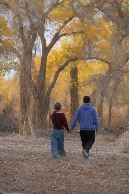
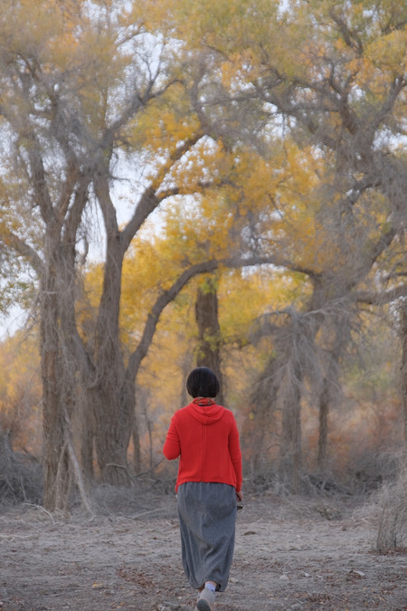
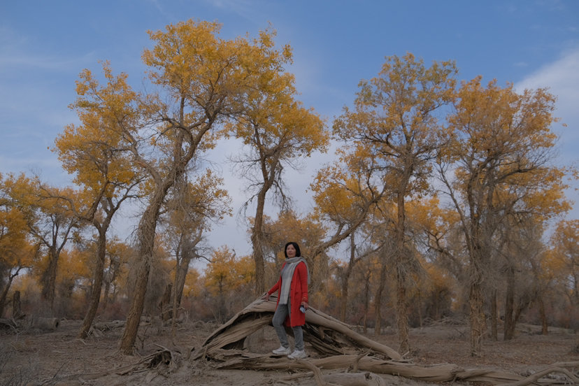
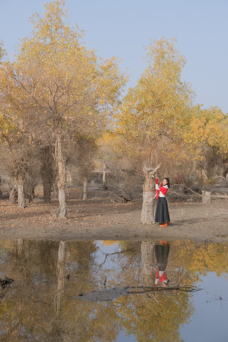
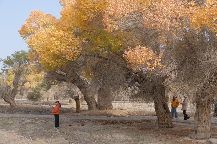
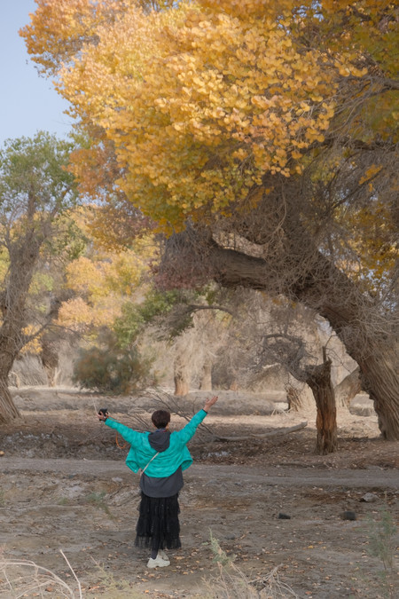
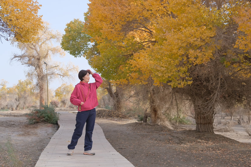
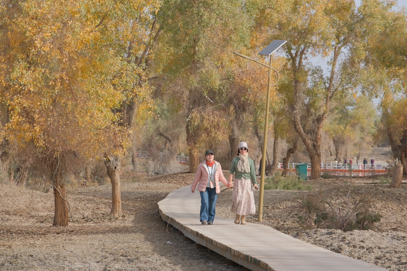
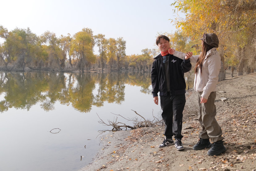
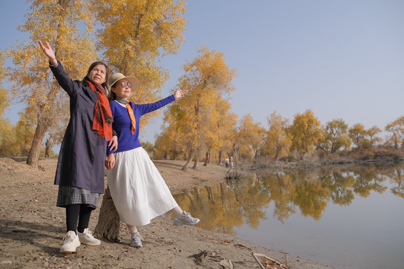
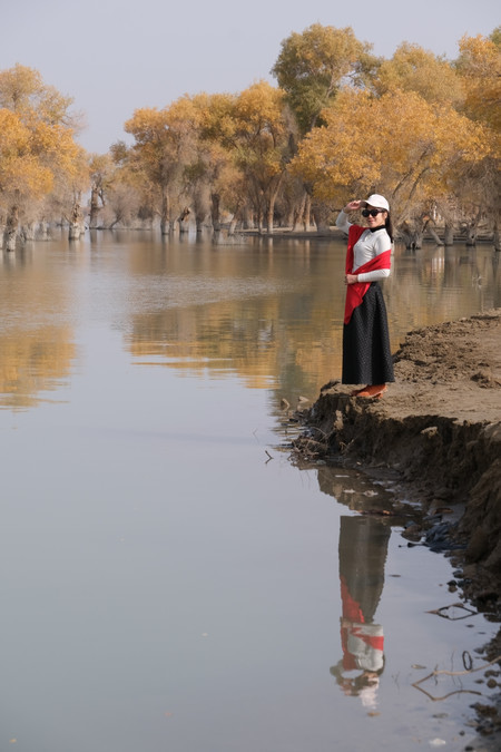
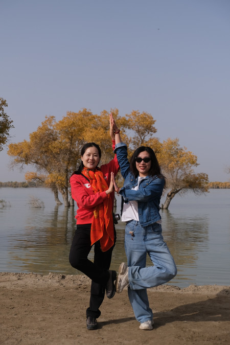
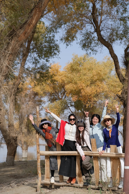
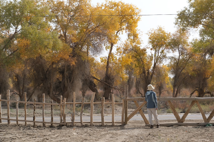
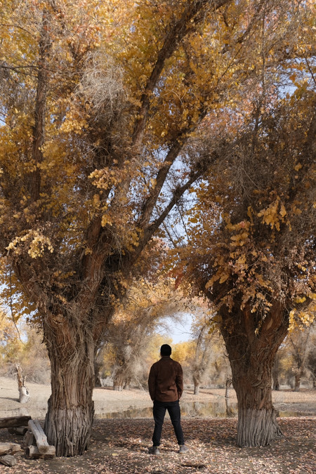
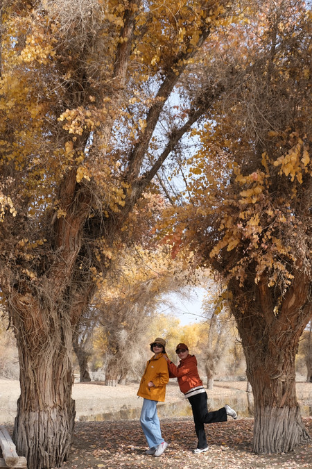
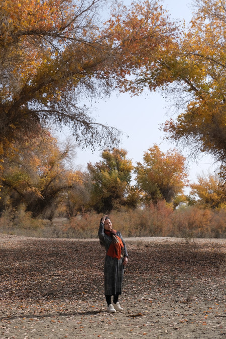
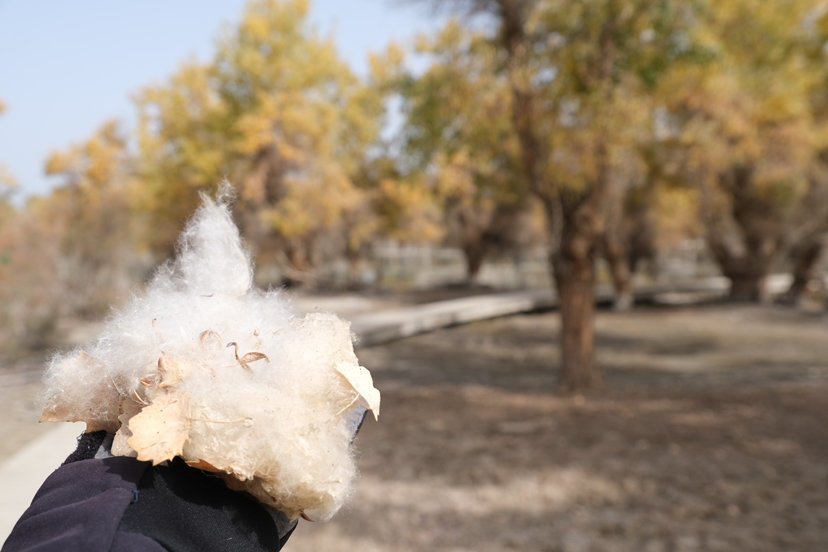
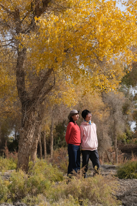
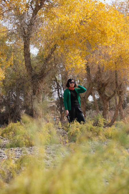
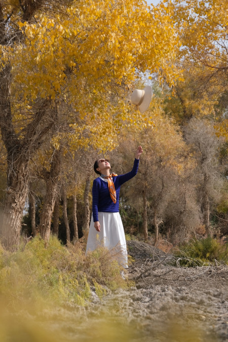
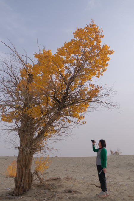
Starting from mid-October, the poplar forests in southern Xinjiang begin to change into a yellowish hue, awaiting countless visitors to admire them.
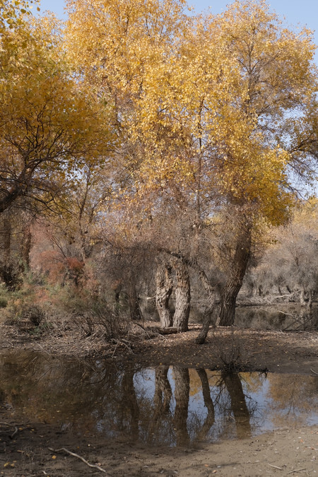
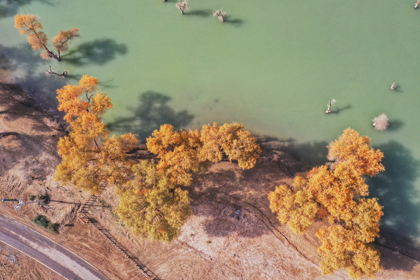
The Hulun Forest in Luntai is located 70 kilometers south of the Luntai County on the South Desert Highway in the Xinjiang Uygur Autonomous Region. It is distributed along the Tarim River Basin and covers an area of over 400,000 mu. It is the largest and most intact natural poplar forest community in the world, and was selected as one of the "Top Ten Most Beautiful Forests in China" by "China National Geography" in 2005. The growth period of the poplars in the forest area is long, forming a unique landscape of "living for three thousand years without dying, dying without collapsing, and collapsing without perishing". It is called "Toklark" (the most beautiful tree) in Uyghur. The core area has a Tarim Poplar Forest Park, covering an area of 4.5 square kilometers, including a 13-kilometer circular sightseeing railway and 126 forest paths, connecting the lakes to form a golden reflection landscape.


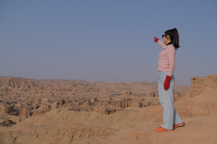
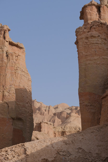
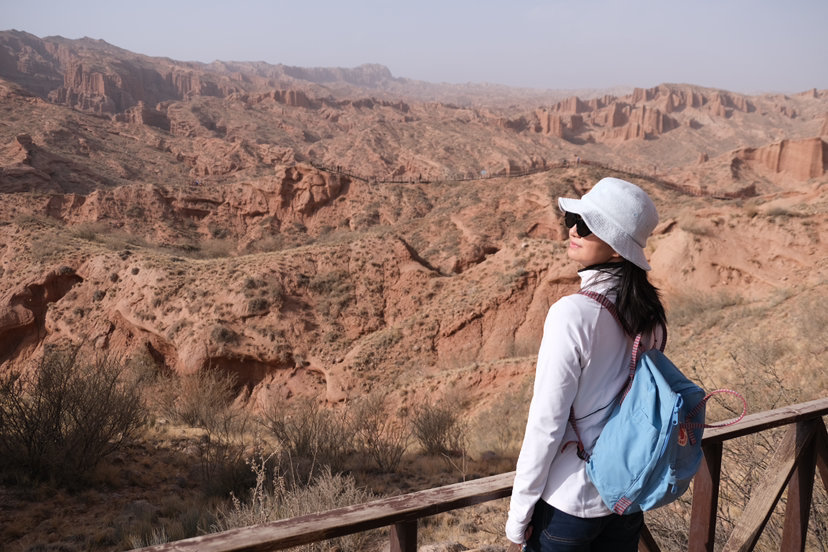
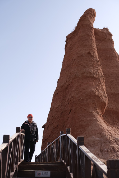
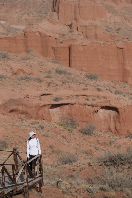
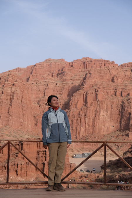
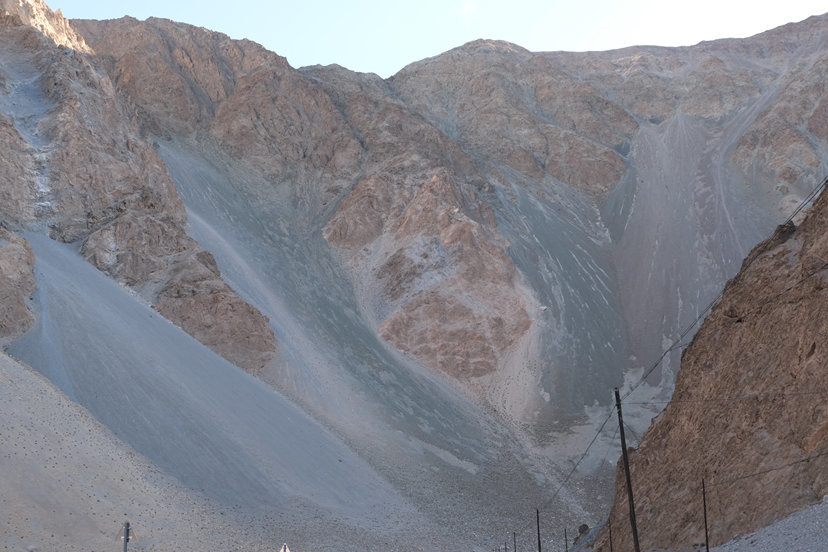
The Kizil Red Rock Forest is located in the low mountain and hilly area between the Baicheng Basin and the northeastern Habei Mountain. The overall terrain is higher in the north and lower in the south. The terrain is composed of a series of vertical gullies formed by erosion, wind erosion and water flow, as well as ridges, terraces and isolated hills between the gullies.


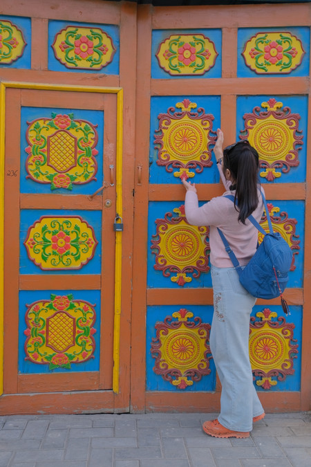
Kuqa Grand Mosque, also known as Jiamen Mosque, is mainly constructed with brick and wood. The exterior of the mosque is tall, grand, and simple yet elegant, demonstrating a high level of craftsmanship. Particularly, the decorations resembling clouds both inside and outside are frequently seen in ancient buildings in the Central Plains of China, which beautifully beautify the blank spaces between beams and columns and carry auspicious meanings. This fully proves the influence of the architectural culture from the Central Plains. The area of Kuqa Grand Mosque is approximately 1,165 square meters. The main building consists of two parts: the main mosque and the large hall used by believers for worship. Kuqa Grand Mosque, whether in terms of the architectural type of the religious court, the unique artistic shape of the gate tower, the structural system of the prayer hall, or the design of architectural details, are all rare architectural art specimens. Especially, the brick carvings, wood carvings, and paintings that represent architectural details have profound significance for studying the architectural decoration art of Western Regions.

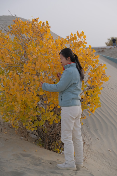
The Shaya Poplar Forest is located in Gaisukumu Township, Shaya County, Aksu Prefecture, Xinjiang. It is situated on the south bank of the Tarim River and on the northern edge of the Taklimakan Desert, 35 kilometers away from the county town. It is the core scenic area of the World Poplar Forest Park in Shaya County. In 2020, it was rated as a national 4A-level tourist attraction. The total area is approximately 42 square kilometers (with a core area of 20 square kilometers). The scenic area integrates wetland poplars, desert poplars, sandy desert poplars and water poplars, and has 17 scenic spots such as Poplar Lake and Crescent Spring. There are 48 types of plants including Rubia nitida and Red Willow, and wild animals such as Tarim Muntjac and Black Crane inhabit the area. It is hailed as "the world's largest natural poplar museum".


On the 260th to 279th sections of the Ahai Highway, there are numerous large and small poplar trees scattered on both sides, adding a touch of autumn beauty to this desert highway.
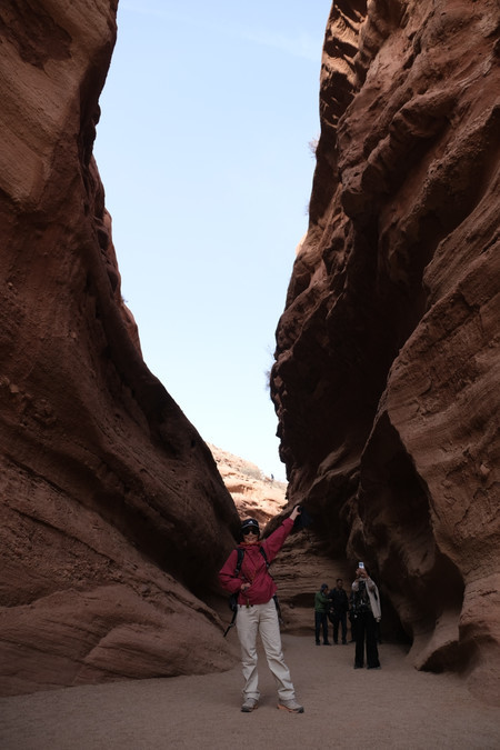
The Tumur Grand Canyon in the Tianshan Mountains, also known as Kuduluk Grand Canyon (meaning "thrilling and mysterious" in Uyghur), is located in Wenxu County, Aksu Prefecture, Xinjiang. It is a national AAAA-level tourist attraction and a national scenic spot. The canyon is approximately 25 kilometers long from east to west and 20 kilometers wide from north to south, covering an area of 200 square kilometers. It is composed of 3 main valleys and 12 sub-valleys, as well as hundreds of small sub-valleys. It integrates five types of landforms: canyon, wind erosion, river, rock salt, and structure, creating landscapes such as the Five-Colored Mountain and the Heroic Valley. It is hailed as "the living museum of geological evolution in Xinjiang".

Baisha Mountain - Baisha Lake Scenic Area is located beside National Highway 314 in Bulenkou Township, Aktao County, Kizilsu Kokyrgyz Autonomous Prefecture, Xinjiang. It is situated within the Pamir Plateau Wetland Nature Reserve and consists of Baisha Mountain and Baisha Lake as its core landscape. Baisha Mountain has a unique landform due to long-term weathering processes. The rocks on its peak become sandy after being eroded, covering the mountain with white sand, and the sound of wind and sand makes it known as "Echoing Sand Mountain". Baisha Lake is formed by the merging of Bulenkule Lake, Qaklarkak Lake and Bulenkou Reservoir. It has an area of 150 hectares and an average water depth of 78 meters, and is the source of the Gezi River.
The scenic area is surrounded by mountains on three sides and adjacent to the southern slope of Gongergerui Mountain. This creates a unique landscape combination of snow-capped mountains, lakes and sand hills. As a 3A-level national tourist attraction [3], it has infrastructure such as wooden walkways and viewing platforms. The lake freezes over for up to six months in winter.
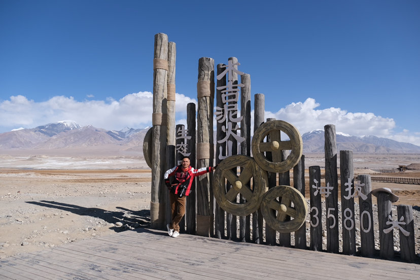
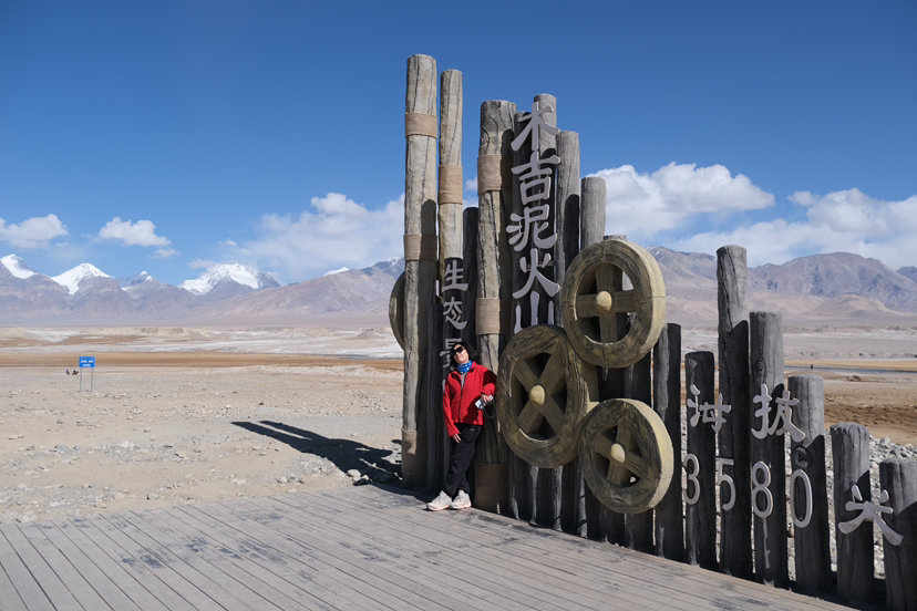
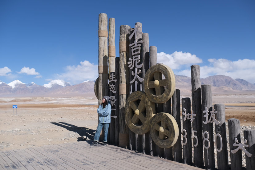
The Muji Mi volcanic group is located at the junction of the Pamir Plateau grassland and icebergs. This volcanic group consists of four types of mud volcanoes: water gushing and gas-emitting calcite stalactite type, large soil and rock forest viscous mud type, mud gushing and gas-emitting type, and water gushing and gas-emitting mud volcano pool type. The spatial forms include mud volcano cones, shields, basins, and pools. There are a total of 77 such volcanoes, among which the number of water gushing and gas-emitting calcite stalactite type mud volcanoes is 33. The formation of this volcanic group is caused by tectonic movements, where groundwater dissolves carbonate rocks and then spills out onto the surface along faults, and after precipitation, forms calcium-rich stalactite cones. This volcanic group is the largest in Asia and ranks second globally after Azerbaijan and the United States' Yellowstone Park. It has features such as the largest diameter of the mud volcano base exceeding 100 meters and the maximum number of eruption pools in a single group reaching 60.

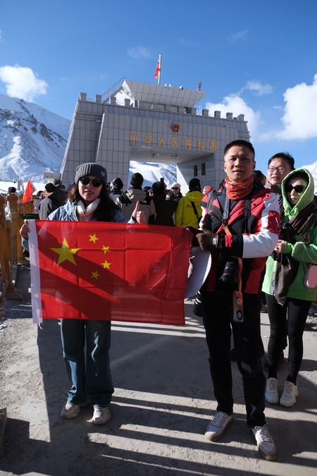
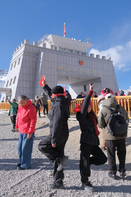
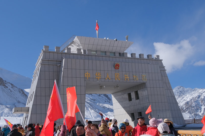
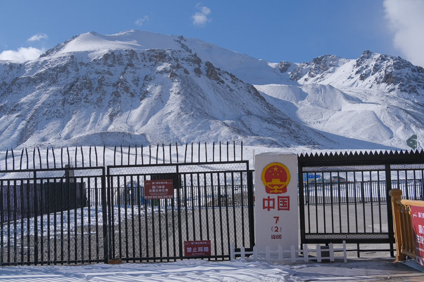
The Chinese Red Qielaifu National Gate is located at the 7th boundary marker at the junction of China and Pakistan in Tashkurgan Tajik Autonomous County, Xinjiang. It is the terminus of the China-Pakistan Highway 314 National Road and faces the Pakistani Suzeet Port across the border. The altitude of this port is 4,733 meters (the highest land border in the world) and it is a national first-class port. It was officially opened on May 1, 1985 and was rated as a national AAAA-level scenic area on June 25, 2021. As a core node of the China-Pakistan Economic Corridor, it connects Central and South Asia with Europe and is the only land route between China and Pakistan.

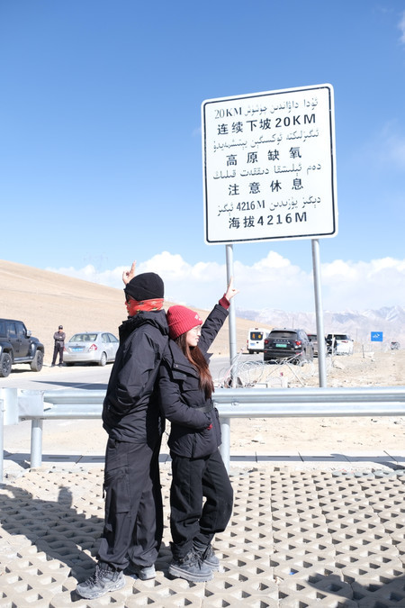
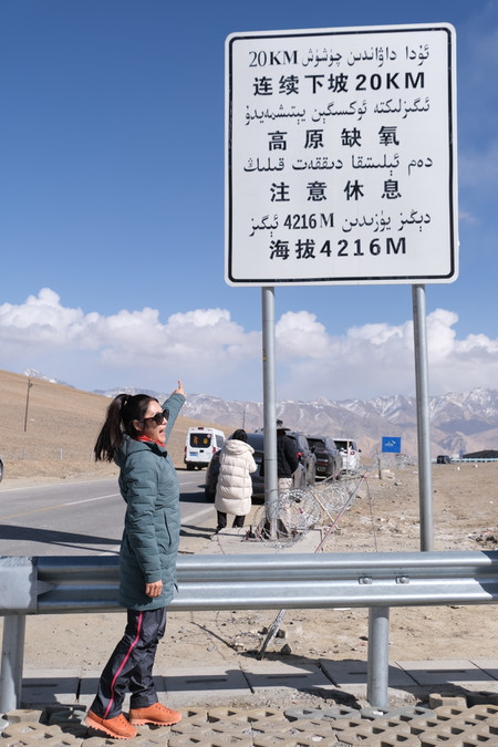
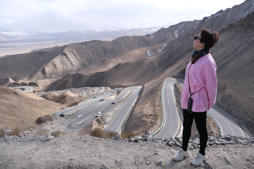
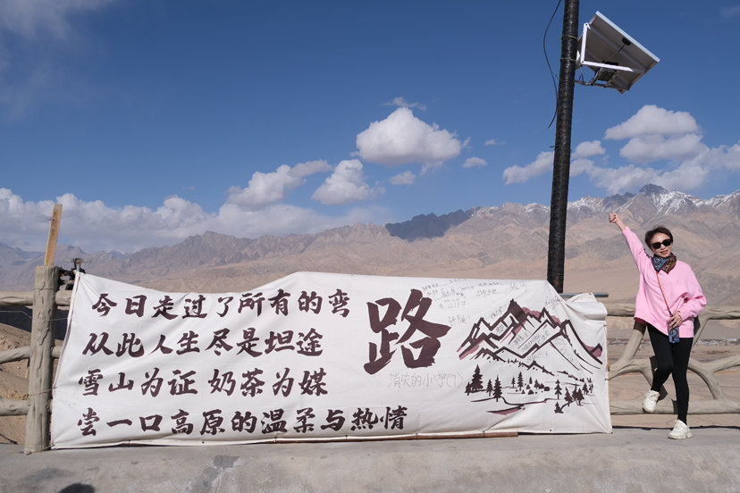
The Panlong Ancient Road is located in Tashkurgan Tajik Autonomous County, Kashi Prefecture, Xinjiang. It was originally a simple path that facilitated people's travel. In June 2019, a new asphalt road was laid. Due to the fact that there are over 600 S-shaped and U-shaped bends within a mere 30-kilometer stretch of the mountain road, and the altitude rises sharply from 3,000 meters to 4,200 meters, "it is breathtaking upon first sight", attracting tourists from all over the world to come and take photos.

The Xiaanshi Reservoir is located in the Bandyer Township of Tashkukukurkan Tajik Autonomous County, Kashgar Prefecture, Xinjiang. It is a large-scale reservoir mainly used for ecological water replenishment and spring drought water supply, and also has functions of power generation and flood control. The reservoir is also known as Bandyer Blue Lake and Kan'er Yanglong Pool. Due to the special minerals carried by the glacial meltwater, the lake water shows seasonal blue changes. It is blue-green in summer and dark blue in winter.
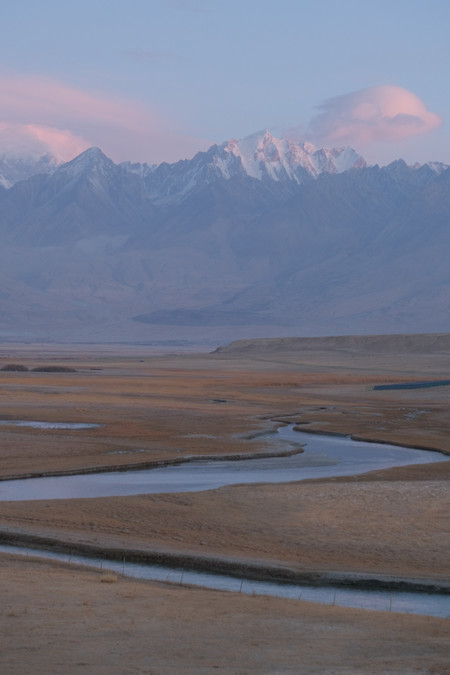
The Eye of Pamir
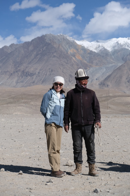
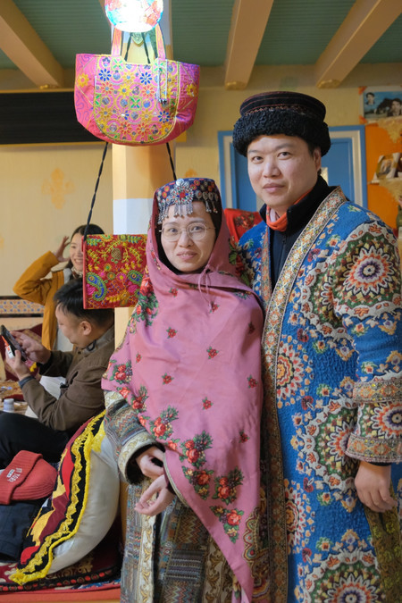
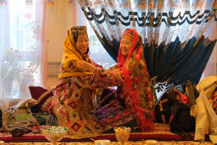
The Tajik people belong to the Indo-European Indian-Mediterranean type. Their national language is Tajik, which includes two major dialects: Shughuri and Wakhani. It belongs to the Indo-European Iranian branch of the Pamir language family. The main body of the Tajik people are in Central Asia, mainly distributed in countries and regions such as Tajikistan and Uzbekistan. The Tajik people in China mainly live in the Tashkurgan Tajik Autonomous County in Xinjiang.
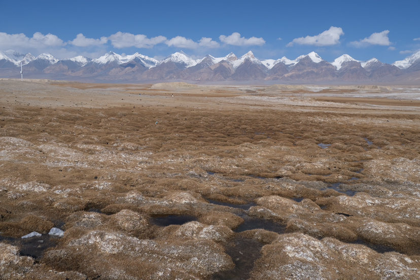
The Tachuman Wetland is located in Tashkurgan Tajik Autonomous County, Kashgar Prefecture, Xinjiang. It is situated in the eastern part of the Pamir Plateau and is a plateau wetland at the foot of Mount Mushtag. It is known as the "land where divine flowers thrive" and is renowned for its basin-shaped terrain surrounded by mountains on all sides, its rich ecological resources, and its magnificent natural landscape. It is an important ecological barrier and a prime grazing land on the Pamir Plateau.
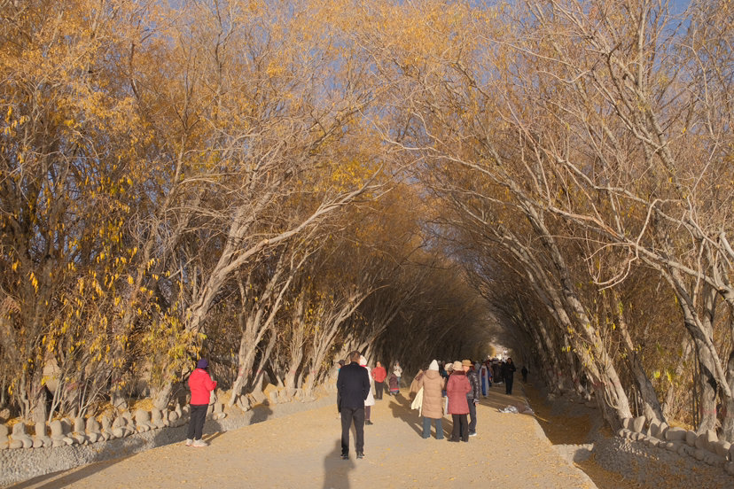
Tree-hole Road

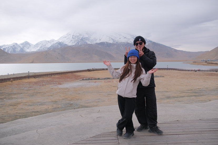
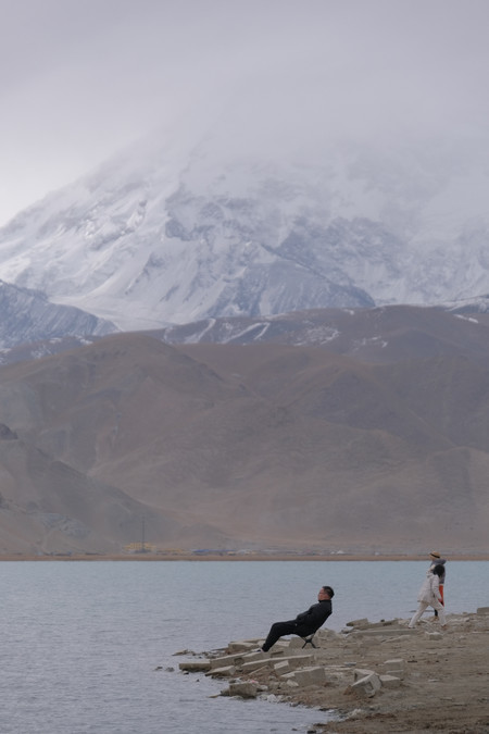
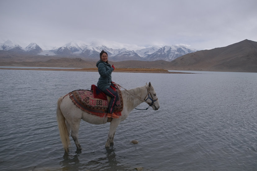
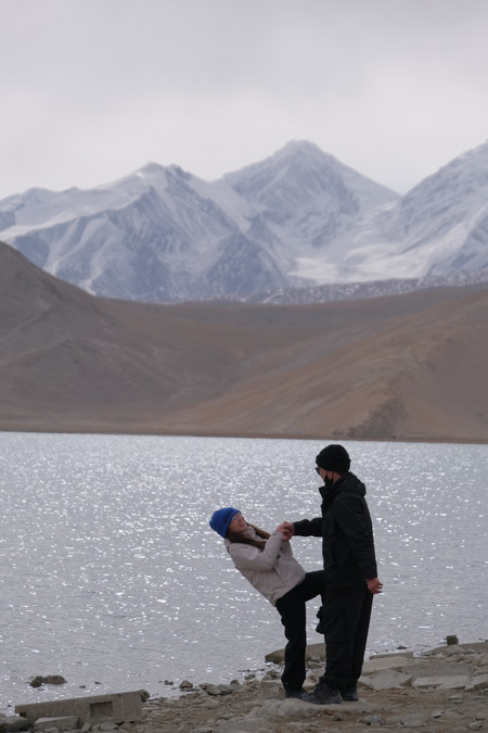
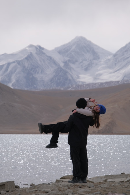
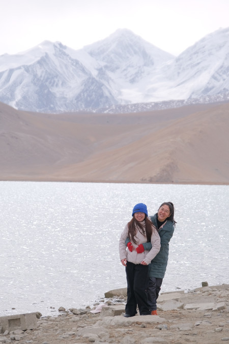
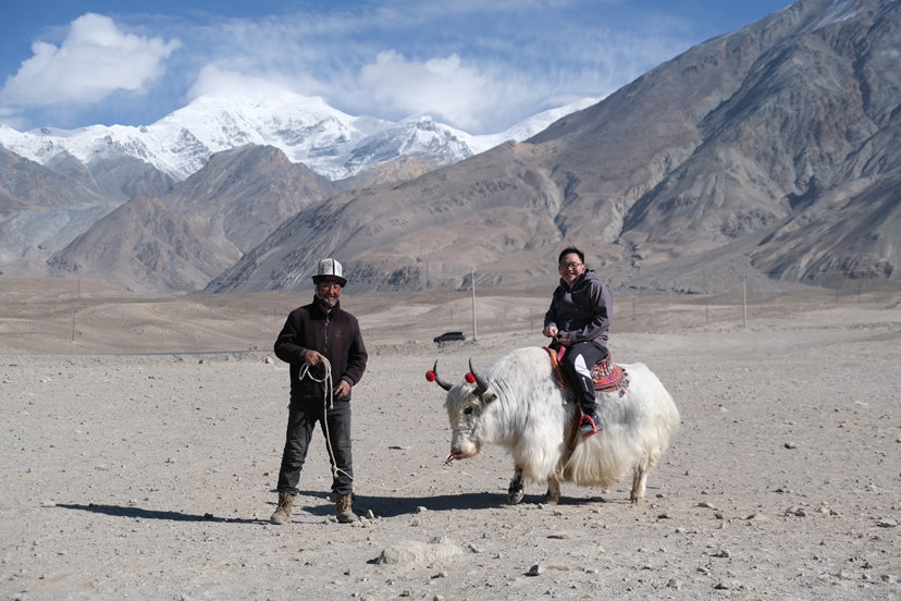
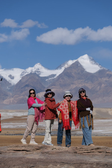
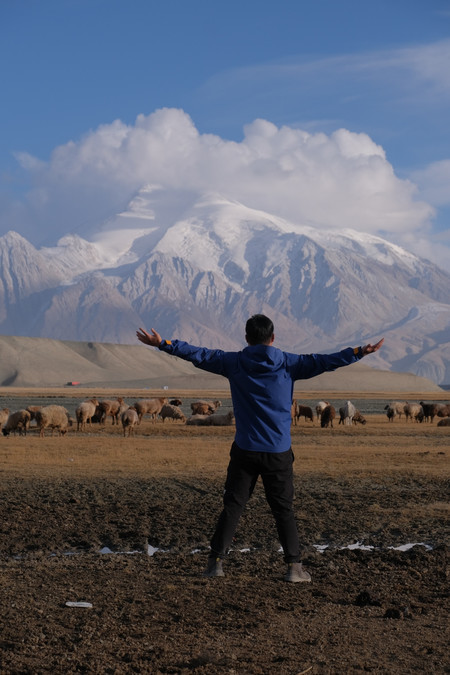
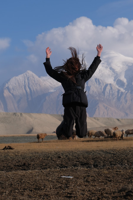
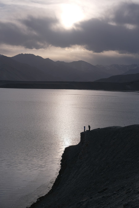
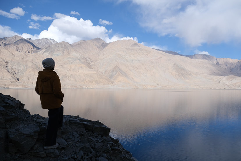
Karakul Lake, in the Koroçzi language meaning "Black Lake", is located at the foot of Mount Muztag in the village of Sabashe. It is the largest natural lake in the eastern Pamir Plateau, shaped like a triangle, with an area of approximately 4.59 square kilometers.
The average depth of Karakul Lake is about 15 meters, and the deepest point reaches 30 meters. It is a typical inland plateau lake. During the ice age, there are three flow rates of water flowing into it during the six-month period. Karakul Lake has a high-altitude climate with an annual average temperature of 2.16℃. The area has rare wild animals such as snow partridges, snow leopards, monkey antelopes, and bantengs, as well as rare plants like sand juniper and snow lotus. The main mineral resources include metal ores such as iron, gold, and copper, and non-metallic ores such as jadeite, granite, and mica.